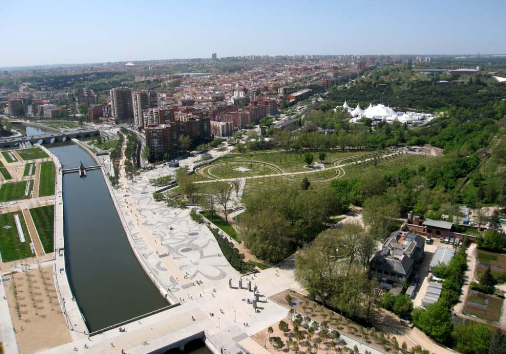
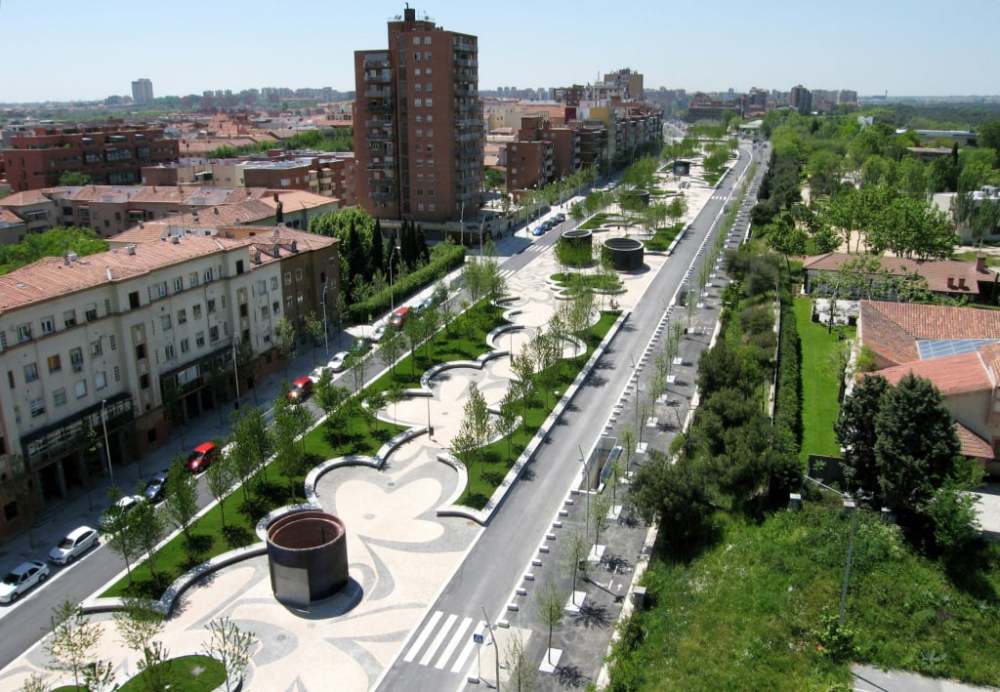
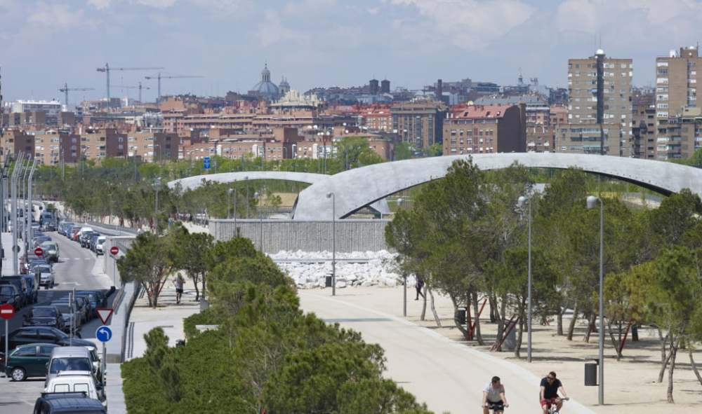
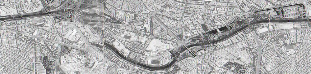
12公里長的线型公園位於馬德里市的心臟,由 Burgos & Garrido, Porras & La Casta, Rubio & Álvarez-Sala, 及 West 8 所設計。
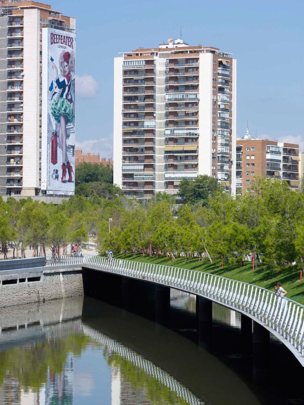
該項目促使恢復了五個歷史悠久的水壩和兩座歷史悠久的橋(Puente de Segovia 和 Puente de Toledo),整修了高架橋,以及復兴了工程附近的地區。由於這些新渡口以及現存歷史風貌特征與新公園規劃的結合,馬德里里奧項目-曼薩納雷斯河岸更新景觀工程-加強了周圍社區與新設施之間的相互聯繫。
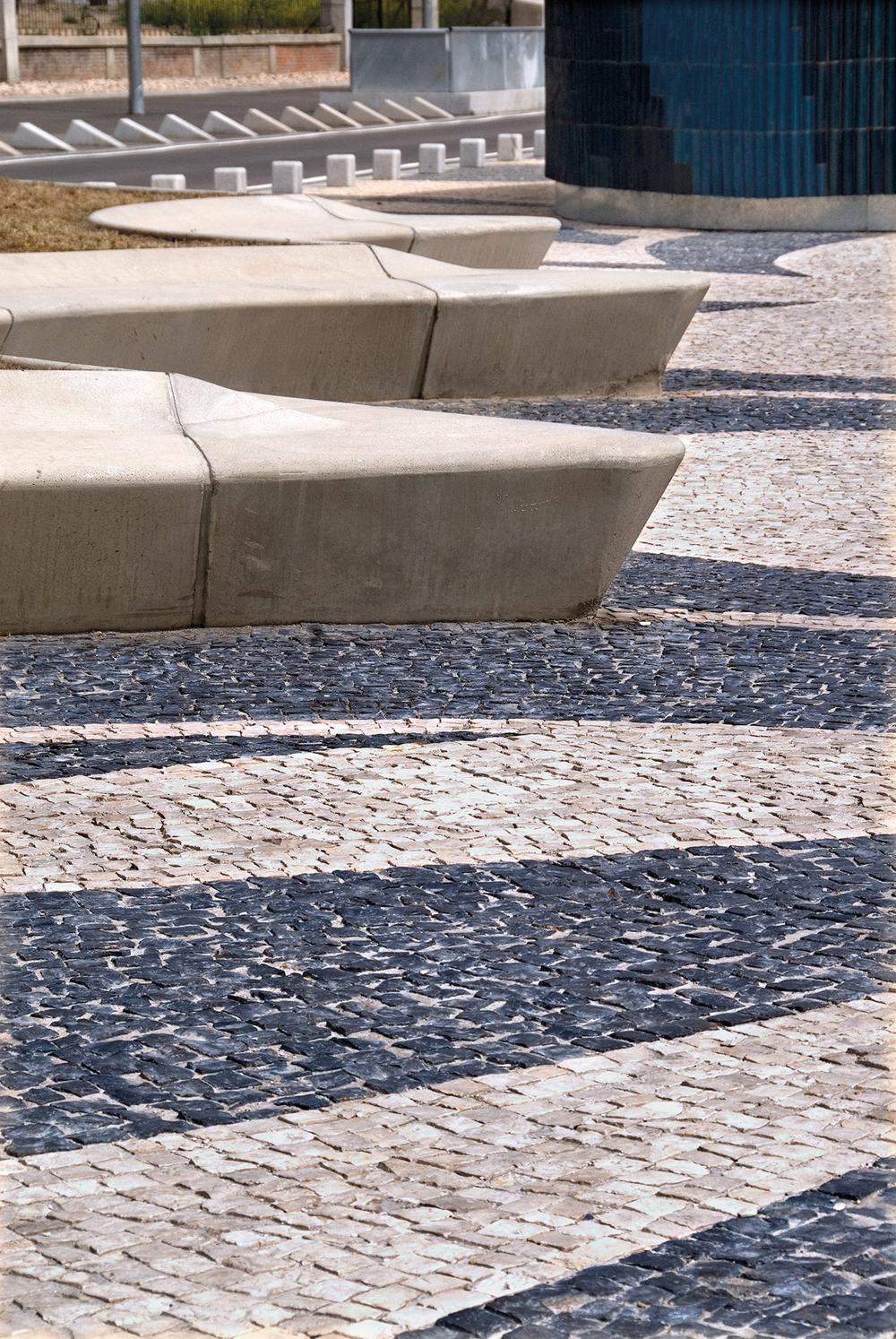
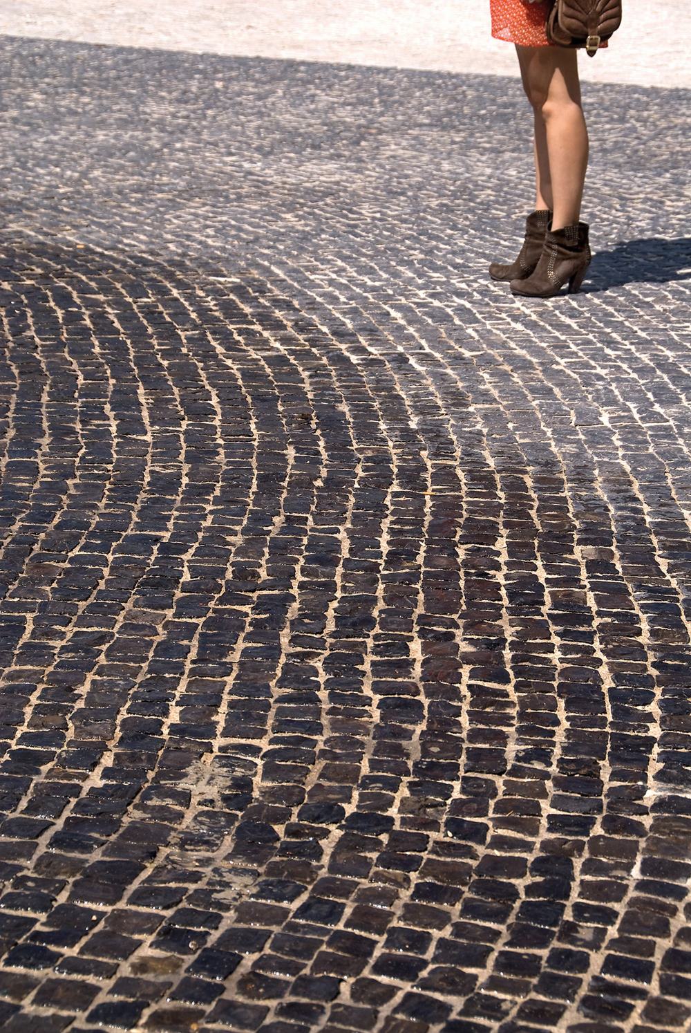
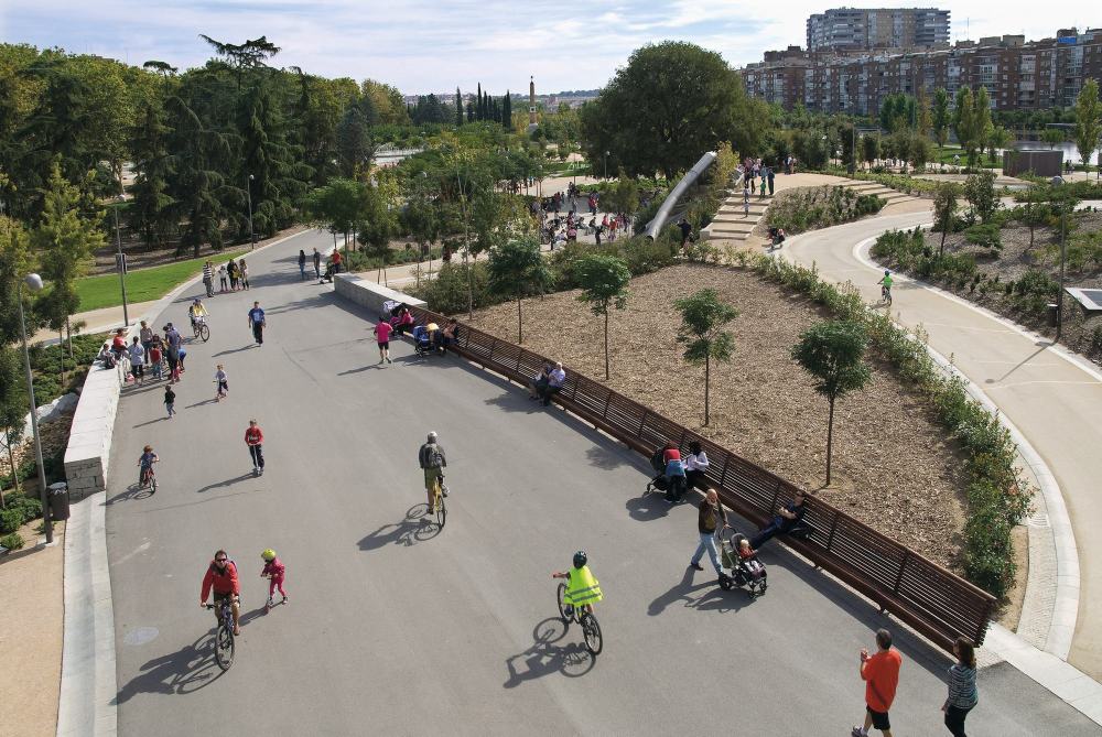
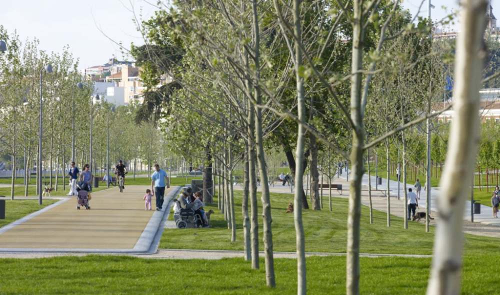
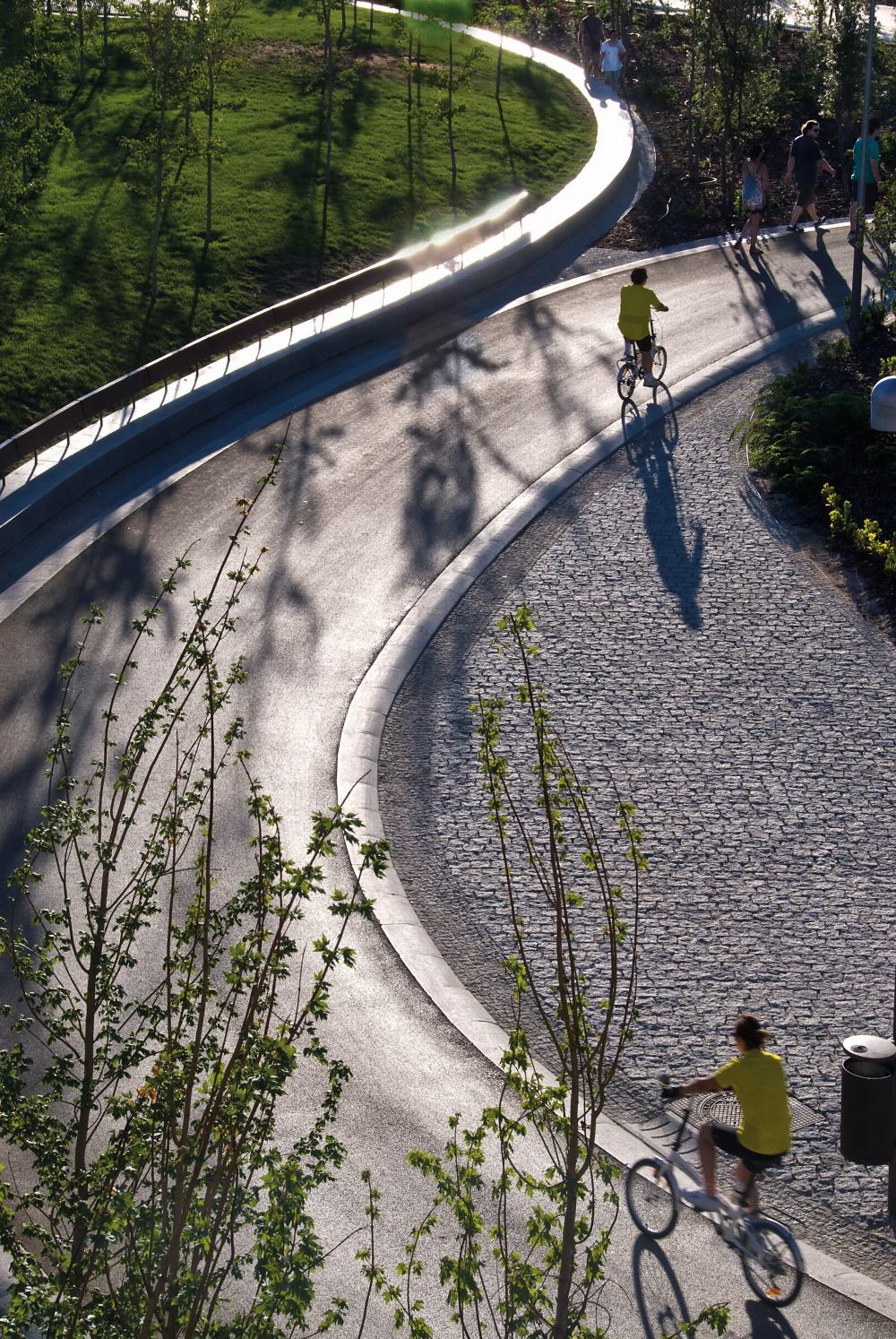
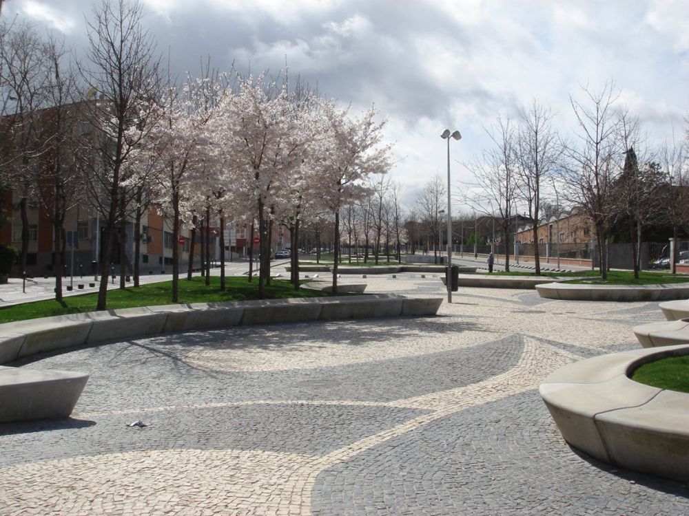
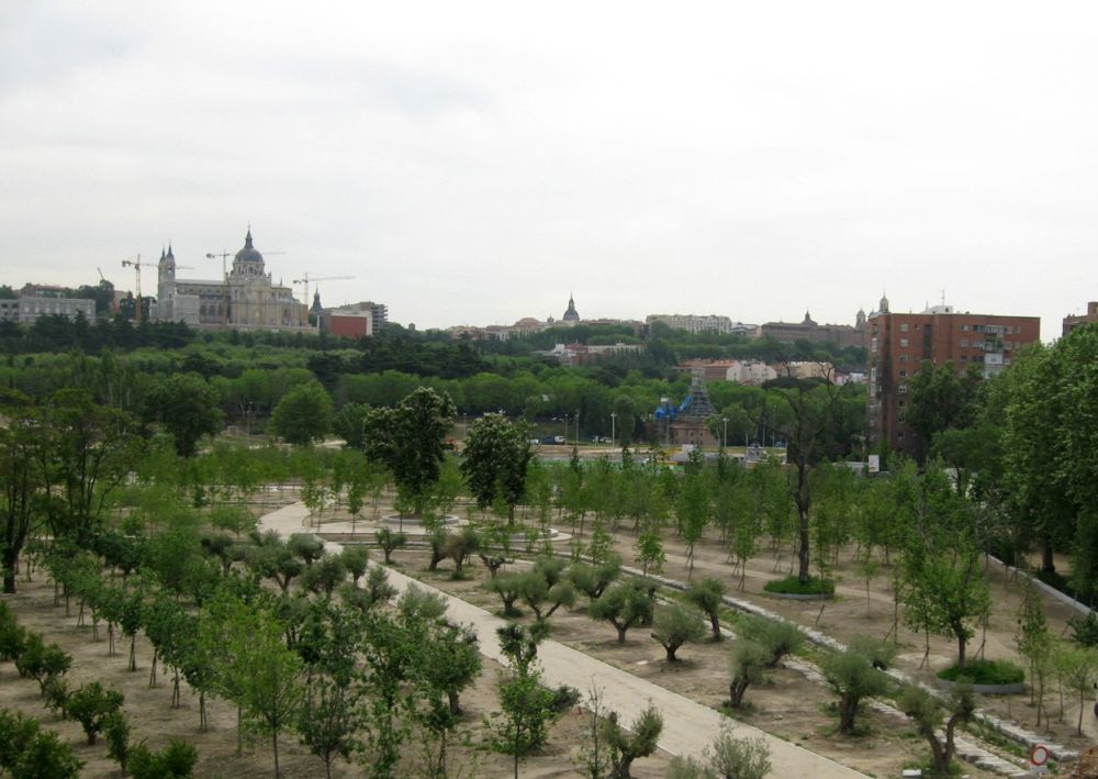
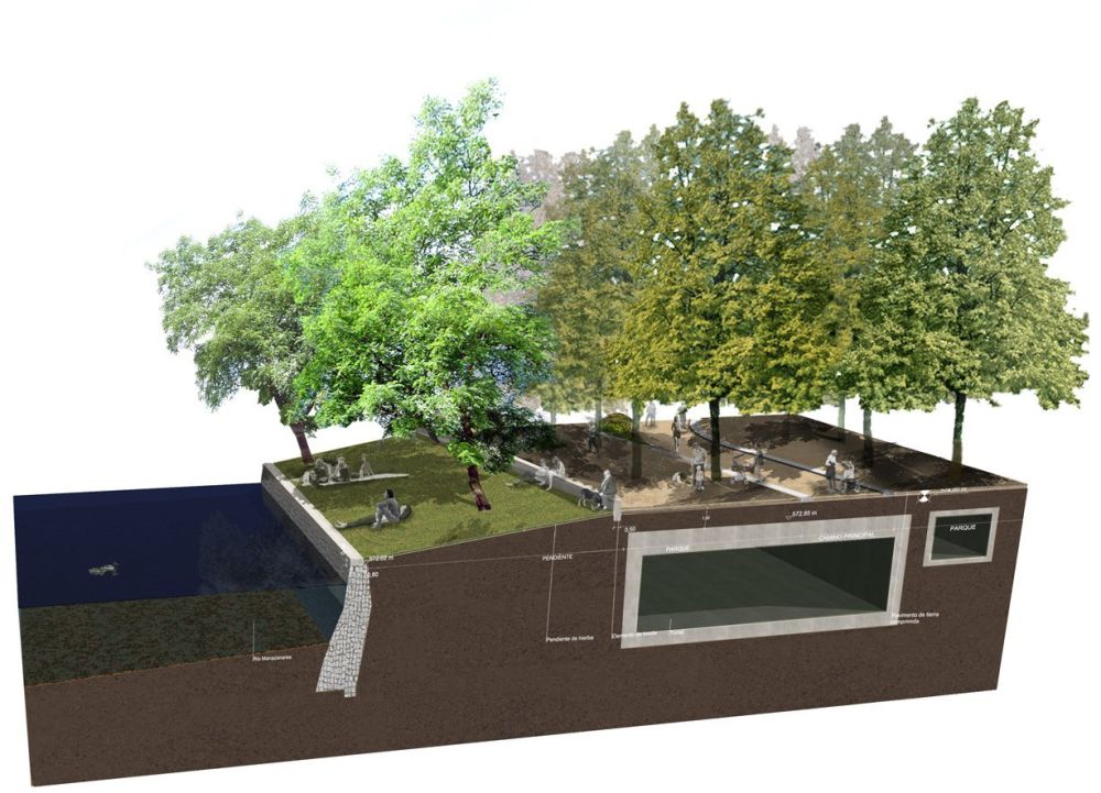
Ginés Garrido [Team Director]Burgos & Garrido | Porras La Casta | Rubio & Álvarez-Sala | West 8The Madrid Río Project was opened in 2011 after six years of hard work being the most important public work carried out in Madrid in the last decades, and probably, one of the most ambitious public projects built in Europe in recent years. In 2003, the Municipality of Madrid decided to bury a part of the first ring road of the city that runs along the Manzanares River and through six kilometres of its trajectory, recovering the connection between the city and the river that had been isolated, inaccessible and invisible for the last 30 years.The team, directed by Ginés Garrido, and formed by Burgos & Garrido Arquitectos, Porras La Casta, RAS and West 8 won in 2005 the international competition to create an urban project for the liberated land resulting after the burial of the highway. The project, already finished, connects Madrid with the valuable landscapes around the city.Madrid Río occupies a 120 hectares of green areas and 6 of public facilities, like sport areas, art centres, water features, playgrounds, kiosks and cafes. 420 M€ have been spent, but with this project, Madrid belongs again to the geography of the river.[ES]El proyecto Madrid Río se inauguró en 2011 tras seis años de trabajo. Es la obra más importante realizada en la ciudad de Madrid en las últimas décadas y, probablemente, uno de los proyectos de espacio público más ambiciosos construidos recientemente en Europa. En el 2003, el Ayuntamiento de Madrid decidió soterrar el tramo del primer gran anillo de circunvalación de la ciudad que discurría sobre las márgenes de río Manzanares a lo largo de seis kilómetros y cuya construcción, hace 30 años, supuso la desaparición de los vínculos entre la ciudad y su río, que quedó aislado, inaccesible e invisible.El equipo dirigido por Ginés Garrido y formado por las oficinas Burgos & Garrido Arquitectos, Porras La Casta, RAS y West 8 ganó el concurso internacional convocado en 2005 para la realización del proyecto de espacio público sobre la superficie que liberó el soterramiento de la autopista. El proyecto, ya terminado, conecta la ciudad de Madrid con los valiosos paisajes exteriores que la circundan y así, el río Manzanares se ha transformado en el punto de conexión entre la ciudad y su geografía.Madrid Río ocupa una superficie de 120 Ha de áreas verdes y 6 de equipamientos ciudadanos, instalaciones deportivas, centros de interpretación y creación artística, una playa urbana, áreas de juegos infantiles, quioscos y cafés. Se han invertido 420 M€ y con él, la ciudad de Madrid vuelve a pertenecer a la geografía del río.